- Project Overview
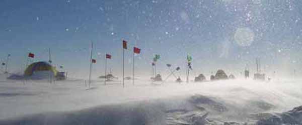
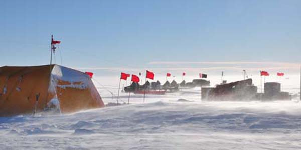
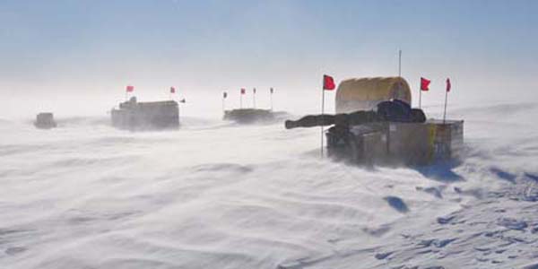
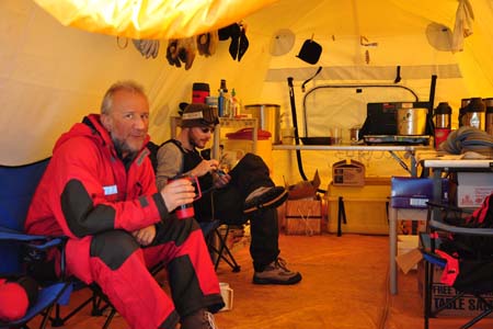
- Photos and Maps
- Science
- Contacts and Links
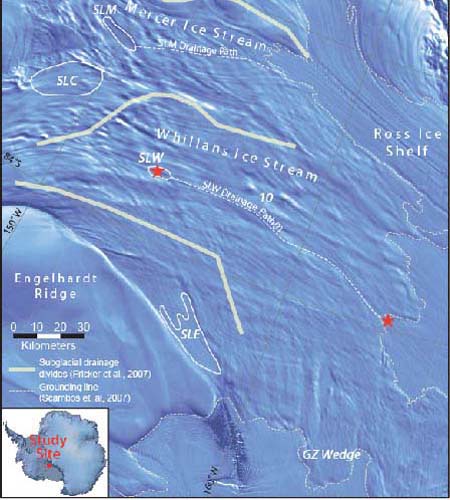
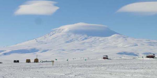
The Whillans Subglacial Access Research Drilling Project (WISSARD) is a six-year, interdisciplinary project involving nine institutions across the country. It aims to better understand the effects of subglacial lakes on ice sheet dynamics by studying Subglacial Lake Whillans, located beneath the Whillans Ice Stream in the West Antarctic Ice Sheet (WAIS). Ice in WAIS rests on ground that is below sea level, making it more unstable and more prone to collapse than ice grounded on land above sea level. This inherent instability makes SLW a prime location for study.
There are three main components to WISSARD, LISSARD(Lake and Ice Stream Subglacial Access Research Drilling), GBASE(GeomicroBiology of Antarctic Subglacial Environments), and RAGES (Robotics Access to Grounding-zones for Exploration and Science). LISSARD focuses on the role subglacial lakes have in ice sheet dynamics and how they may play a role in the rate of mass loss of the West Antarctic Ice Sheet. Initially it was thought that subglacial lakes were isolated and rare bodies of water created by unusual conditions underneath the ice, but it is now known that there are more than 120 subglacial lakes in Antarctica, many of which are connected and which drain and refill. With WISSARD we aim to study how one lake, Subglacial Lake Whillans, fits into this dynamic system. In the 2010-11 Antarctic field season, we studied the lake area with surface-based geophysical tools (radar, seismics and GPS) and in 2011-12 we will study the area at the grounding line to gain insight into how SLW drains. In subsequent years, GBASE will conduct the first ever scientific study of the biological systems of these subglacial environments. It is estimated that a tenth of the world's biomass lives beneath the ice in Antarctica, an environment that has never been touched and which holds great interest for the science communty. RAGES will utilize downhole tools to collect samples of subglacial water, sediments and ice for analysis. The first planned field season for the RAGES and GBASE parts of the project will take place in 2013-2014.
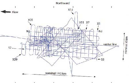
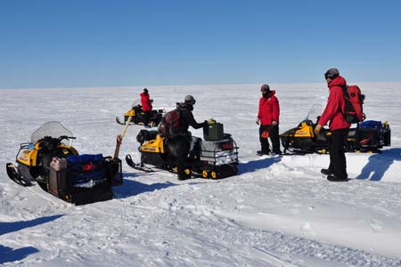
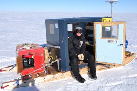
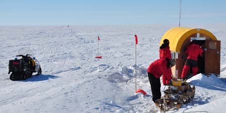
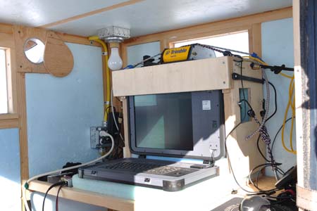
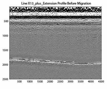
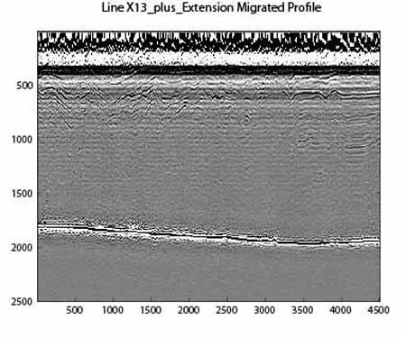
CEGSIC's role in WISSARD is to use surface-based geophysical techniques to understand the physical environment of the lake and grounding line sites. During the 2010-2011 field season, CEGSIC scientists Christianson and Jacobel obtained over 400 km of gridded radar data in the area directly above, and surrounding, SLW. After processing these data, we have created maps of surface topography, ice thickness, internal layer stratigraphy, bed topography, hydraulic pressure, and basal roughness and reflectivity in the vicinity of SLW. Together with results from active-source seismic experiments done by our colleagues, these studies will help us to understand the dynamic physical environment beneath the ice as SLW empties and fills.